Locate Varesino - Carbonate

The hilly part of the municipal territory of Locate is located to the north of the provincial capital: mainly consisting of conifer forests, it is part of the Parco della Pineta di Appiano Gentile e Tradate. The southern part is flatter and is occupied by residential areas and farmland. The extreme south has coppice woods and is bordered by the Fontanile di Tradate river (or Raboeu in the local dialect). The Cavo Gradeluso, a conduit created in the Austrian era, flows at the border with Carbonate. The town centre is traditionally divided into districts or rioni.
Between 1928 and 1950, Locate Varesino was a village in the municipality of Seprio. The town centre of Carbonate, in the province of Como, straddles the Tinella valley, at the end of the clay moraines, bordering the flat and gravel-rich plateau to the south-west. The hilly part of the area, to the north, belongs to the Parco Regionale della Pineta di Appiano Gentile e Tradate. There are four rivers running through the municipal area: the Bozzente, the Cavo Gradeluso, the Fontanile di Tradate and the Tinella, channelled underground in the late 1900s.
Gallery

An archive photo of the passenger building in the 1970s 
Villa Catenacci De Wich (650 m from the station): Villa Catenacci De Wich, at Locate Varesino, was the home of the Dutch De Wich family, who arrived from Flanders with the Spanish, as early as the first decades of the 1600s. In 1836, after the death of Giovanni De Wich, the villa was acquired by the bourgeois Catenacci family, who extended the villa and park. The park occupies an area of around 7730 m2, and was originally flat, with two avenues which intersected at a central crossroads. It was completely renovated in 1860-1865, when artificial hills were added and numerous tall trees with evergreen or deciduous leaves were planted, now over a hundred years old. The park’s plant heritage is particularly valuable for the originality of its layout, as well as for the selection of plants and trees: a total of 85 species have been found, belonging to 45 botanical families from a variety of different origins. 
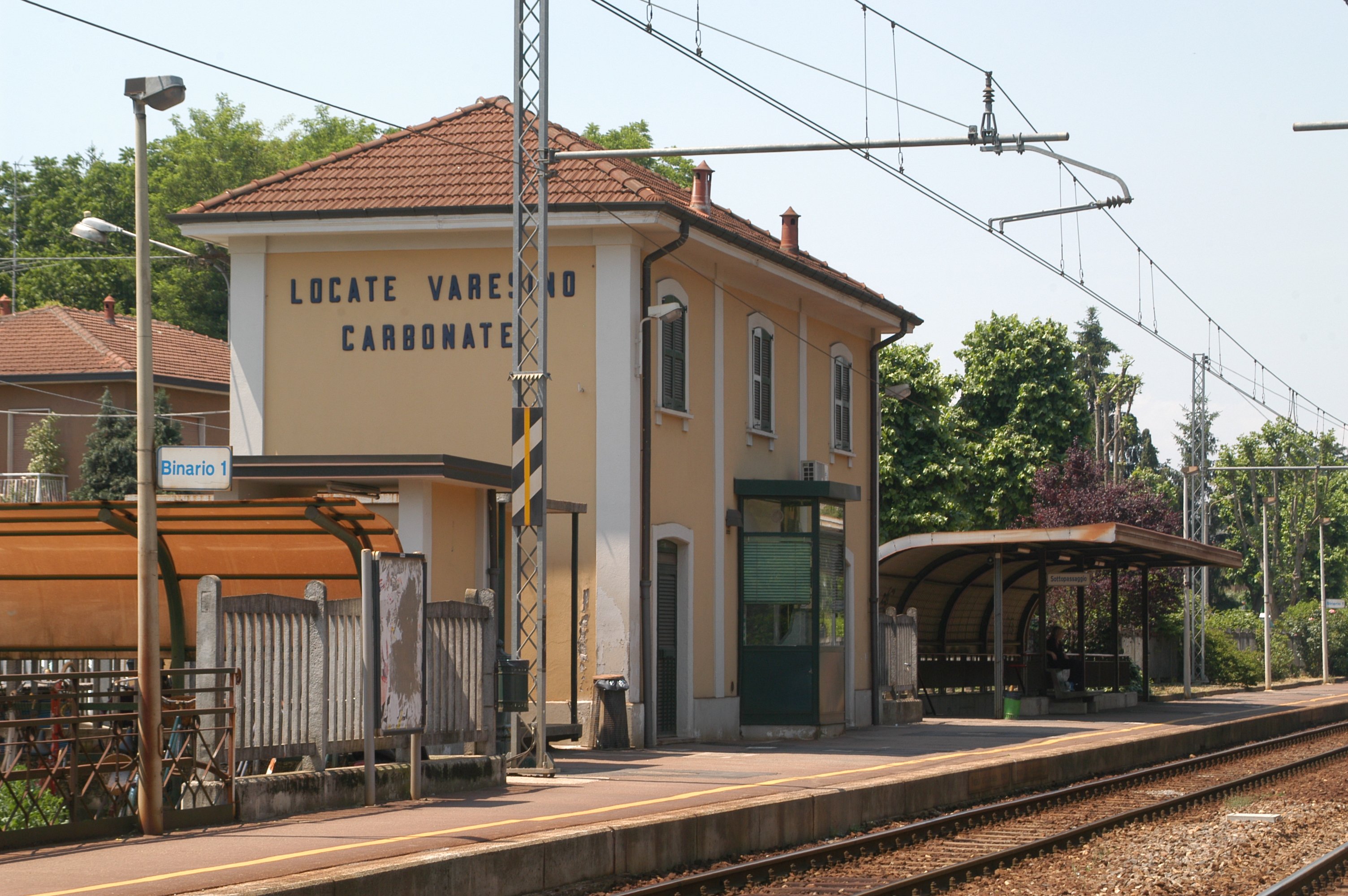
A recent image of Locate 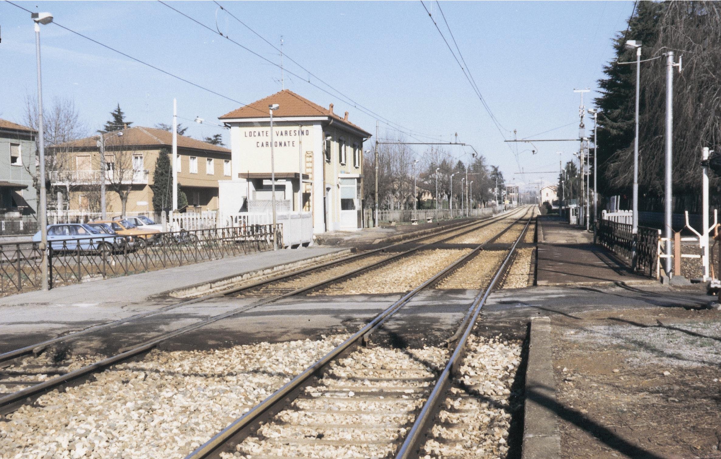
View of the Locate-Carbonate complex