Busto Arsizio Nord


This city is an industrial and commercial hub of great importance, set in highly urbanised surroundings. Inhabited since Roman times, it was known in the Middle Ages for leather tanning. Known in the 16th century for its fustian cloth industry, it grew in the 1800s due to the numerous cotton spinners and weavers. The area of Busto Arsizio is on the northern edge of the Po Valley, on the upper floodplain, south of the Varese Prealps. It is located in the moraine plateau area of the Olona Valley. The location of the first settlement was no accident: it lay on an alternative route to the Strada del Sempione, known as the “Milan road”, which connected Milan with Lake Maggiore. From the second half of the 1800s, following rapid population growth, the hamlet began to develop outside the defensive walls.
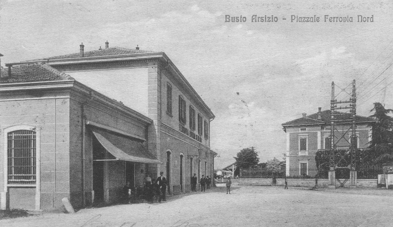
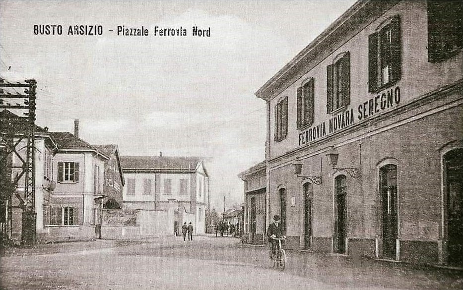
Over time, the city’s four gates were eventually demolished. In 1911, when the population had exceeded 31,000, an Expansion Plan was drawn up, which involved moving the Ferrovie dello Stato to the east (completed in 1924), opening the west bypass and zoning the Ferrovie Nord Milano area, now urbanised.
Moving the railway route led to the expansion of the city along Strà Balon (now Corso XX Settembre) and Strada Garotolla (now Via Mameli). The first industries began to settle around the town centre, in search of labour. This was made possible by the improvement of transport and the resulting drop in price: industries no longer needed to be located close to the raw materials they processed, but could establish themselves near towns instead. Over time, these industries were incorporated into the rapidly expanding city.
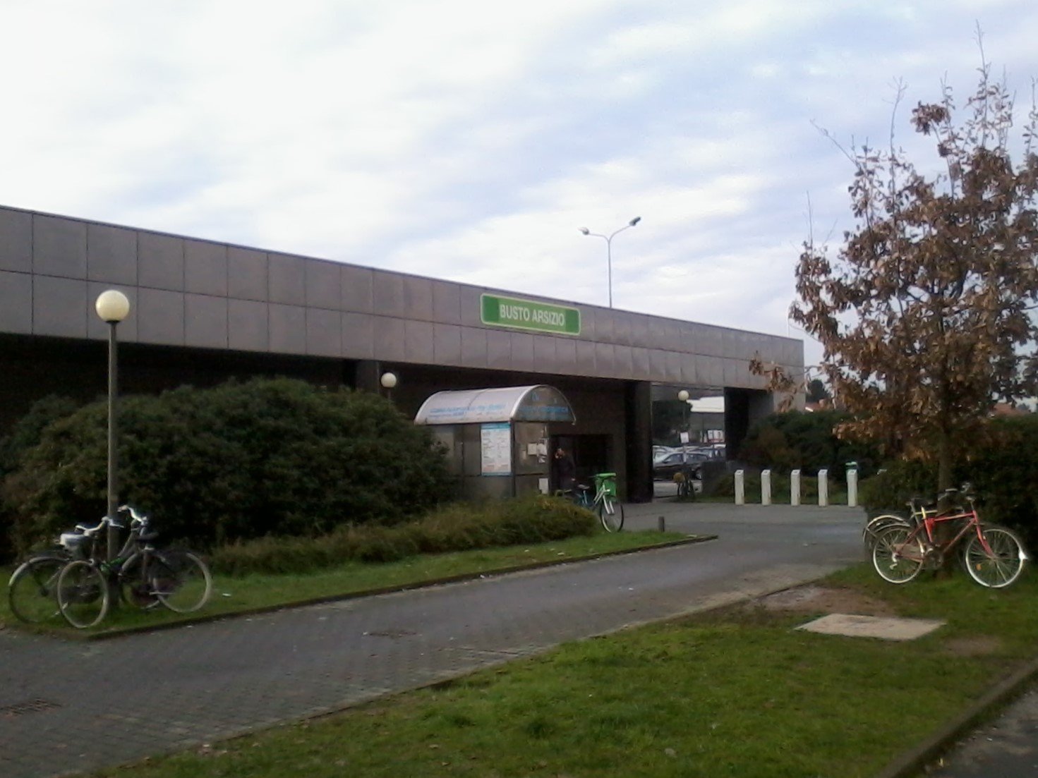
The city has the station of Busto Arsizio, located on the Sempione railway and run by Rete Ferroviaria Italiana, and the station of Busto Arsizio Nord, on the Novara-Seregno line and the site of a branch for the Busto Arsizio-Malpensa Aeroporto line, run by Ferrovienord.
Between 1881 and 1951 the city was also served by the Milano-Gallarate tramway, run by the STIE.
Gallery

An afternoon together waiting for the train at Busto, early 1920s 
An afternoon together waiting for the train at Busto, early 1920s 
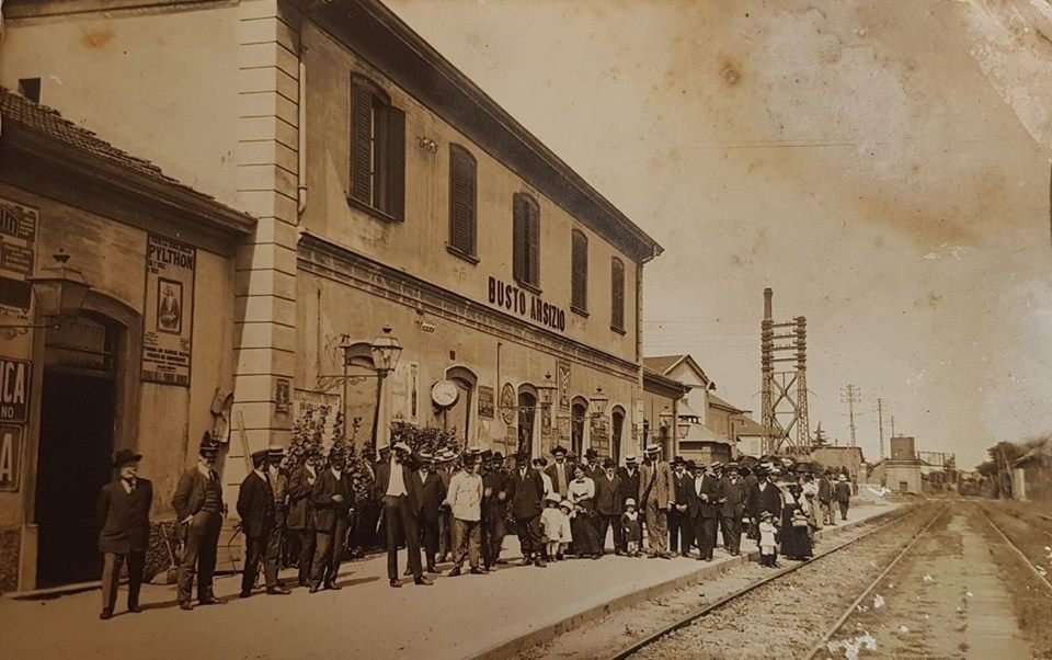
Staff and railway workers posing in front of Busto station, early 1920s 
Busto Arsizio station in the 1980s: the signal box can be seen next to the passenger building 
Textile Museum (1.3 km from the station): the Museum of Textiles and Industry was founded with the aim of collecting, preserving and appreciating objects, machines, products and documents relating to the local textile industry and other sectors of the Busto Arsizio industrial tradition. The museum promotes cultural and informative activities in order to contribute to scientific and historical research in this particular sector. The museum is located in the building which once housed the spinning department of one of the main manufacturers in the area, Cotonificio Carlo Ottolini (later Cotonificio Bustese), a key example of industrial archaeology in the city.